A roughly triangular area surrounded by Highway 99, Humboldt and Park avenues and Comanche Creek is the most pollution-burdened census tract in Chico, according to a draft map, the interactive CalEnviroScreen 5.0 map.
The low-income neighborhoods of Chapman and Mulberry, lying within this area, also shoulder a “pollution burden” worse more than almost 93 percent of California, the map shows. The term “pollution burden” refers to both the contamination people are exposed to and the environmental or health risks posed by pollutants to surrounding communities.
The CalEnviroScreen 5.0 mapping tool was developed by the California Office of Environmental Health Hazard Assessment (OEHHA), and uses 23 indicators to identify communities that are disproportionately burdened by pollution and socioeconomic factors.
The map shows that “these things don’t just happen to large industrial cities,” said Chico State geography professor Mark Stemen. “They can also happen in rural cities with a history of industrial uses.”
The map shows the extent to which Chapman, also known historically as Chapmantown, served as the North State’s industrial use space, Stemen said. He noted that the triangular area shown on the map is bordered by the four major arterials coming into Chico: Highways 32 and 99, Skyway and Park Avenue.
The draft map was released on Jan. 28 with a public comment period that closes April 1. Members of the public can submit feedback here.
Although the map shows the Chapman-Mulberry area with a high pollution burden score of almost 93, the area to its west that includes the Barber neighborhood scores slightly above 92, meaning that its pollution burden is worse than 92 percent of California census tracts. In contrast, a northeastern census tract (surrounded by Floral and East avenues and Sycamore Creek) has the lowest pollution burden score at 4.43.
The map also illustrates poverty levels and the demographic composition of the census tracts. The two areas with more severe environmental pollution both have poverty scores above 90, whereas the area with the lowest pollution burden has a poverty score of only about 40.
The area with the lowest pollution burden has a much higher proportion of white residents — almost 72% — than the tracts shouldering the largest burdens.
Stemen says the map highlights long-standing environmental injustice.
“We concentrate environmental harms in those places with the people who are least likely and least able to defend themselves,” Stemen said. “If we put a waste site up in the north part of town, rich people would hire a lawyer to stop it.”
Chapman-Mulberry’s three most alarming indicators
Within the triangular area, the three most severe environmental indicators are hazardous waste, diesel particulate matter and cleanup sites, all scoring above 95. This indicates that the census tract ranks worse than more than 95 percent of the state on these three measures. The census tract that includes the Barber neighborhood faces similarly high burdens across these indicators.
Diesel PM is an exposure indicator, while Hazardous Waste and Cleanup Sites are environmental effect indicators that refer to the risks posed by pollutants to surrounding communities. The impacts can be immediate or delayed, said Amy Gilson, deputy director of OEHHA.
“Sierra Nevada Brewing Co. has implemented several initiatives to reduce emission impacts”
Diesel PM, air pollution produced by diesel-powered vehicles and equipment, including trucks, buses and trains, can cause eye, nose and throat irritation. This indicator reflects how much diesel is emitted into the air near where people live.
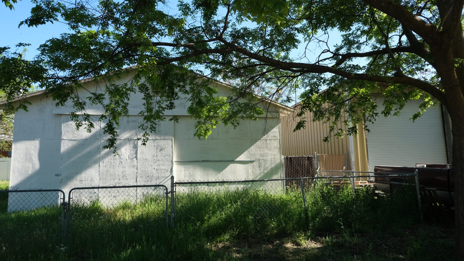
Stemen said the high levels of diesel emitted in this area are mainly caused by heavy traffic and distribution activity. Businesses like Sierra Nevada Brewing Co. have brought more truck traffic, which can increase diesel emissions. Stemen noted that the area also includes warehouses, a trucking firm, automobile shops, and a waste transfer site, all of which contribute to truck traffic.
Sierra Nevada Brewing Co. told ChicoSol in an email that the company has implemented several initiatives related to transportation over the years to reduce emission impacts.
Sierra Nevada has a “strict no-idle policy” for both its own trucks and third-party haulers while on site, has made investments in electrified refrigeration units to replace the diesel-powered units commonly used elsewhere, and has made investments in electric trucks for on-site operations.
Hazardous waste includes chemicals that may harm human health or the environment. Facilities that handle hazardous waste raise concerns about the potential impact on the community, such as risks of accidents, spills, and long-term exposure to contaminants. The indicator reflects the number, type and proximity of hazardous waste generators and treatment facilities.
The map shows that a hazardous waste disposal facility, Asbury Environmental Services, is located in the tract. According to the California Environmental Quality Act website, the facility stores and transfers used oil, used antifreeze, oily water and oily debris or solids.
ChicoSol was unable to obtain comment from Asbury Environmental Services by the time of publication.
The data description of the map says that studies have found that hazardous waste facilities are often located near low-income neighborhoods and communities of color.
Cleanup Sites, the third worst indicator for this area, refers to locations contaminated with hazardous chemicals that require remediation by property owners or government agencies. Contaminants at cleanup sites can move through air, soil or groundwater, and may spread beyond the immediate area. Data in this indicator reflect the number and types of environmental cleanup sites, with emphasis on sites that are closer to people and pose higher potential health risks.
The map identifies cleanup sites, including Chico Scrap Metal and Victor Industries, which were both located on East 20th Street; both are active. According to the California Department of Toxic Substances Control, “active” means the required remedy has not yet been completed.
“We’ve got all these industrial sites all along here that are the legacy of pollution, and they are toxic waste sites now,” Stemen said, referring to the former site of Chico Scrap Metal, as well as Victor Industries that was using solvents to clean semiconductors.
Stemen, a member of the “Move the Junkyard” coalition, helped push for the shutdown of Chico Scrap Metal on East 20th Street due to environmental and health concerns. He noted that the site was located too close to Chapman Elementary School. That site was closed in early 2022.
Clean-up grants for pollution-burdened, disadvantaged neighborhoods
The Chapman and Mulberry area was, until six years ago, an unincorporated county island without city services. It was annexed into the city in 2020.
“So all bad stuff got pushed over here,” Stemen said. “Historically this has been the disadvantaged part of town. It’s still a disadvantaged part of town.”
According to the map, this area’s poverty indicator scores 91.48, meaning that poverty levels in this area are higher than in 91.48 percent of the state.
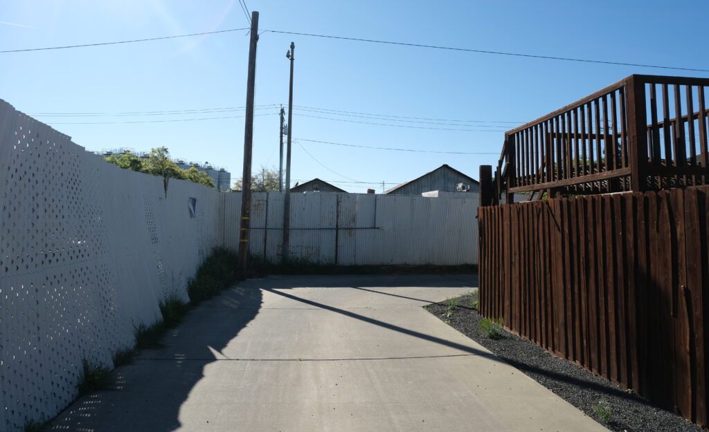
Most neighborhoods still lack sidewalks and roads are marked by potholes.
According to Stemen, former industrial activity and ongoing heavy traffic and distribution have contributed to contamination and potential health and environmental risk in the area.
Residents in this area are not always aware of the pollution or the potential health and environmental risks they face. This reporter spoke with at least three Chapman residents, all of whom said they were unaware of serious environmental hazards.

Cesar Zapien, who was walking his dog on Boucher Street above Little Chico Creek, told ChicoSol that he has lived in the Chapman neighborhood for 39 years and is unemployed, and he is more concerned about “the lack of local work opportunities due to outsourcing” than about pollution.
Zapien noted the frequent presence of large trucks associated with Sierra Nevada Brewing Co., but also believes the brewery contributes “money” to the community.
Bryce Goldstein, councilmember for District 7 that includes the neighborhoods, told ChicoSol that she is familiar with the map, and the Chapman and Mulberry area has always scored as a community burdened by pollution.
“Chapmantown and Mulberry are the cheapest places to live in Chico and low income people are more likely to only be able to afford housing in areas that are most environmentally burdened,” Goldstein said.
On Zillow, some two-bedroom apartments in the Mulberry neighborhood are listed for only $1,195 per month. A three-bedroom apartment is listed for $1275 per month.
“We should be expecting that as the city grows, the polluting industry moves out of our neighborhoods, especially our historically disenfranchised communities like Chapmantown,” Goldstein added.
“We can partner with the county to search for grants for environmental remediation if necessary,” Goldstein added. “We can plan for the future to ensure that our new residences, schools, parks, et cetera are located in areas that are safe for people, and that we focus on remediation near those residential and recreational areas.”

Kristina Thayer, director of OEHHA, said the interactive map is a “vehicle” for the state.
“CalEnviroScreen was created as a vehicle for environmental justice to help the state see cumulative impacts like environmental and social factors clearly, visually, and act on them,” Thayer said at a recent news conference held by the agency. “CalEnviroScreen has helped direct billions of dollars in climate investments and environmental protections to communities most impacted by pollution.”
Yucheng Tang is a California Local News fellow reporting for ChicoSol.
8 Comments
As far as I am aware this has been segregation for the black community, chico is on the sundown town list . And history of the kkk racist town . This is all by design
is Chico California on the list for sundown town
Yes, Chico, California, is listed as a historical sundown town in research focusing on the state’s racial history. According to records mapping these towns, Chico was known to have had policies or practices that discouraged Black residents from staying after dark, with reports noting its historically white population.
ArcGIS Online
ArcGIS Online
+1
Source: ArcGIS Online – “The Red-Book: Sundown Towns in California”
Historical context: Reports indicate a violent history, including Ku Klux Klan activity in the early 20th century.
The Guardian
The Guardian
The last Housing Element for the City of Chico showed that the percentage of minority ownership of homes held steady or increased over the previous 10 years indicating no problem there; however, when I broke it down by race it showed that home ownership by Black families dropped by something like 50%. I commented on this in the public review and they never responded. That’s a significant drop in home ownership by African Americans in Chico.
I’m a home owner and active voter in this area. Our city council and mayor should be seeking state and federal grants to clean up these sites.
Also, would it not have been the under the purview of congressman LaMalfa or other local leaders, healthcare leadership, university outreach leaders, environmental studies departments, agricultural community developers and businesses to address a toxic profile in Chico?
When specific communities are held back from contributing to the success of a community because of the communities’ health challenges, invariably, it takes money directly out of our communities’ wealth.
Remember how the city’s suit against the Chico Scrap Metal on 20th called for them to clean it up after many many years of litigation ? How long ago ago was that?When will they be held responsible? When will that area be reclaimed?
Thank you for this important reporting. The CalEnviroScreen data makes visible what residents of the Mulberry and Chapman neighborhoods have lived for decades — a compounding of industrial legacy, poverty, and neglect that needs to be owned and corrected comprehensively.
The road and mobility dimension of this story deserves equal attention. The Mulberry neighborhood in particular, is literally fenced off by Sierra Nevada Brewery and the Silver Dollar Fairgrounds, from food, offices, bookstores, hardware stores, just a couple of blocks away – as the crow flies – and the greater urban core — and for pedestrians and cyclists it is long, roundabout and, in stretches, genuinely dangerous. The practical effect is that safe access to daily life requires a car, which is an additional economic burden on a community the map shows has a poverty score above the 91st percentile statewide.
CARD’s development of Community Park at the north end of MLK Parkway has helped mitigate some of these problems for Chapmantown, as have the Bikeway 99 paths and bridges, which provide real connectivity where they exist, especially as the economics and convenience of electric bicycles and other personal mobility devices grow exponentially and residents seek alternatives to car dependency. These assets are undermined when the connecting residential streets are impassable on foot or by bike.
The debilitated condition of Humboldt Avenue between Highway 99 and downtown remains one of the most concrete expressions of that neglect. It is the most direct route connecting both the Mulberry and Chapmantown neighborhoods to Downtown. Before being incorporated into the city, the residential streets of both neighborhoods were paved through grants obtained through the County and have served us well. But without maintenance they will rapidly approach failure if not patched and sealed.
The City’s own 2023 Pavement Management Program Update is explicit: preventive sealing of streets in good condition costs $9.80 per square yard. Reconstruction of failed streets costs $137.07. The city’s failure to both plan and budget consistently for the cheaper end of that equation means Chico’s Southside and downtown core residential streets are locked into a predictable, documented cycle of decline — and the communities least able to absorb that cost bear the most of it.
The CalEnviroScreen map didn’t create this inequity. But it names it. Now the question is whether the City Council will act responsibly on the advice of its own study and these reports.
Thank you for the research Yucheng put into writing this article. I appreciate that the
California Office of Environmental Health Hazard Assessment (OEHHA) exists and I hope it will continue to provide us the useful information.
My personal pet peeve is when drivers idle their motors wasting gas and causing air and noise pollution. So thank you to Sierra Nevada Brewery for making improvements to decrease this issue with their strict No Idle policy.
My grandchildren live in this area so I am especially concerned about the pollution burden they bear. It weighs heavy on me.