Skip to the content
Crossing borders in the Northern Sacramento Valley
Support Us
Subscribe
News & analysis
Arts
Musical Portraits
Poetry
Community
Changemaker
Obituaries
Resources
Criminal Justice
Courts
Policing
Education
Environment
Climate Change
Fracking
Water
Health
Health care
Mental Health
Highway 99
Housing & homelessness
Immigration
In Brief
Politics
Special Projects
Podcasts
Videos
En español
Point of view
About us
About ChicoSol
Our Team
Subscribe
Membership
ChicoSol Terms of Use
Search for:
Follow us:
Facebook
Instagram
Highway 99
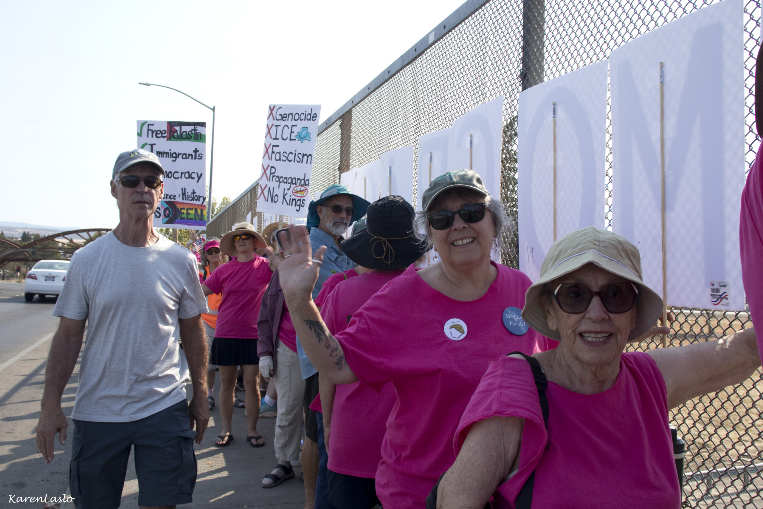
Chico demonstrators join nationwide Labor Day protests
August 30, 2025
ChicoSol staff
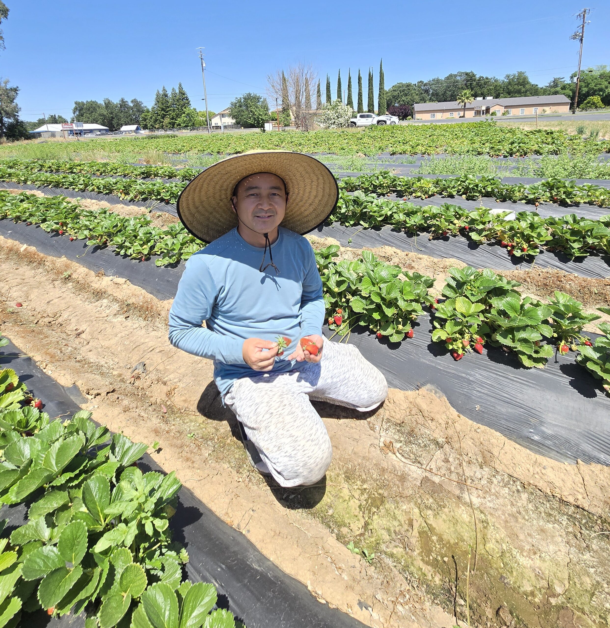
Chip Chao’s love of the land produces strawberries
Highway 99
May 29, 2025
Leslie Layton
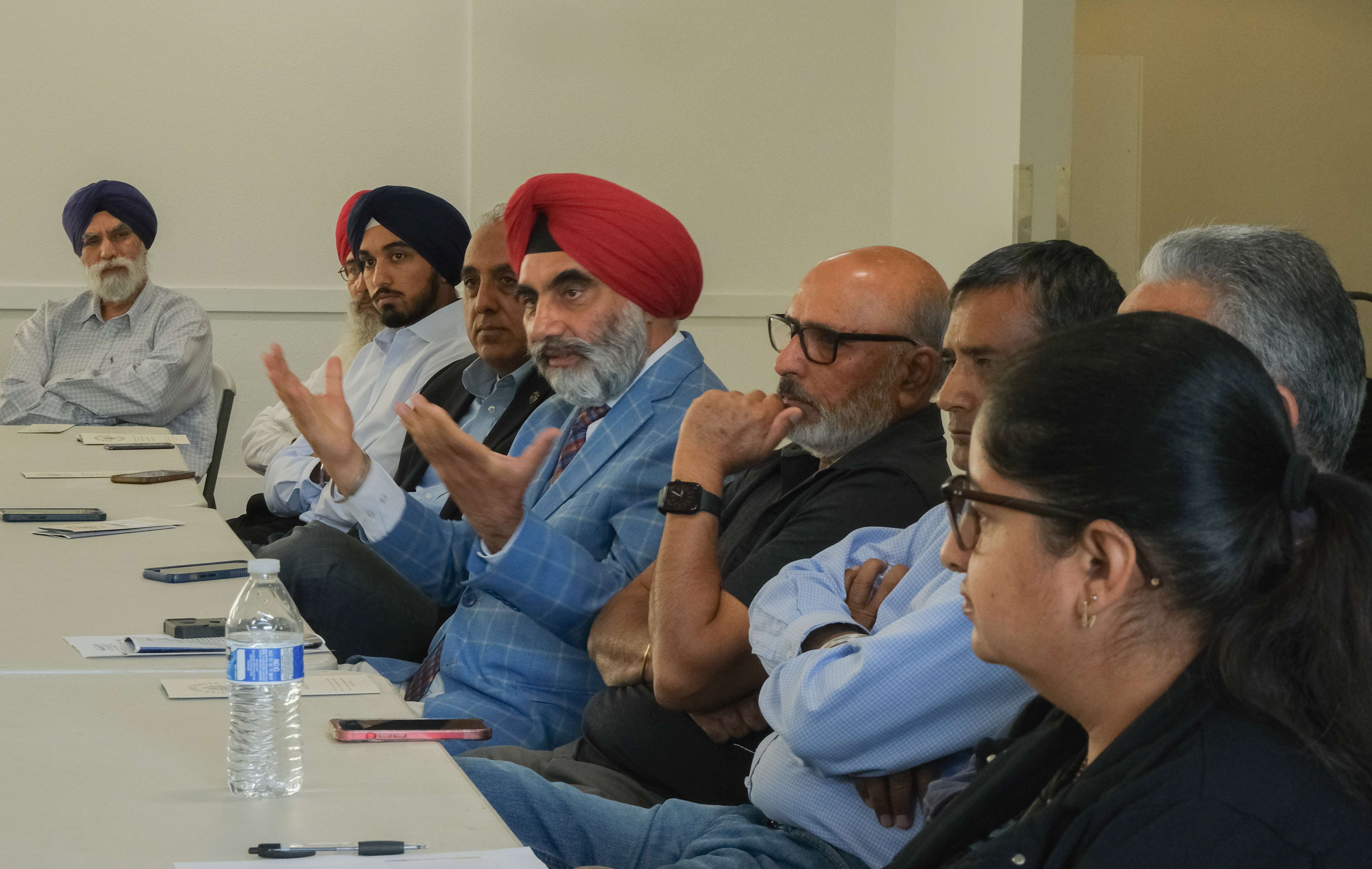
Sikh community pursues change in narrative
Los sijs buscan que sus historias sean escuchadas
October 24, 2024
Yucheng Tang
Say their names: honoring the “deportees”
Highway 99
May 31, 2024
Lindajoy Fenley
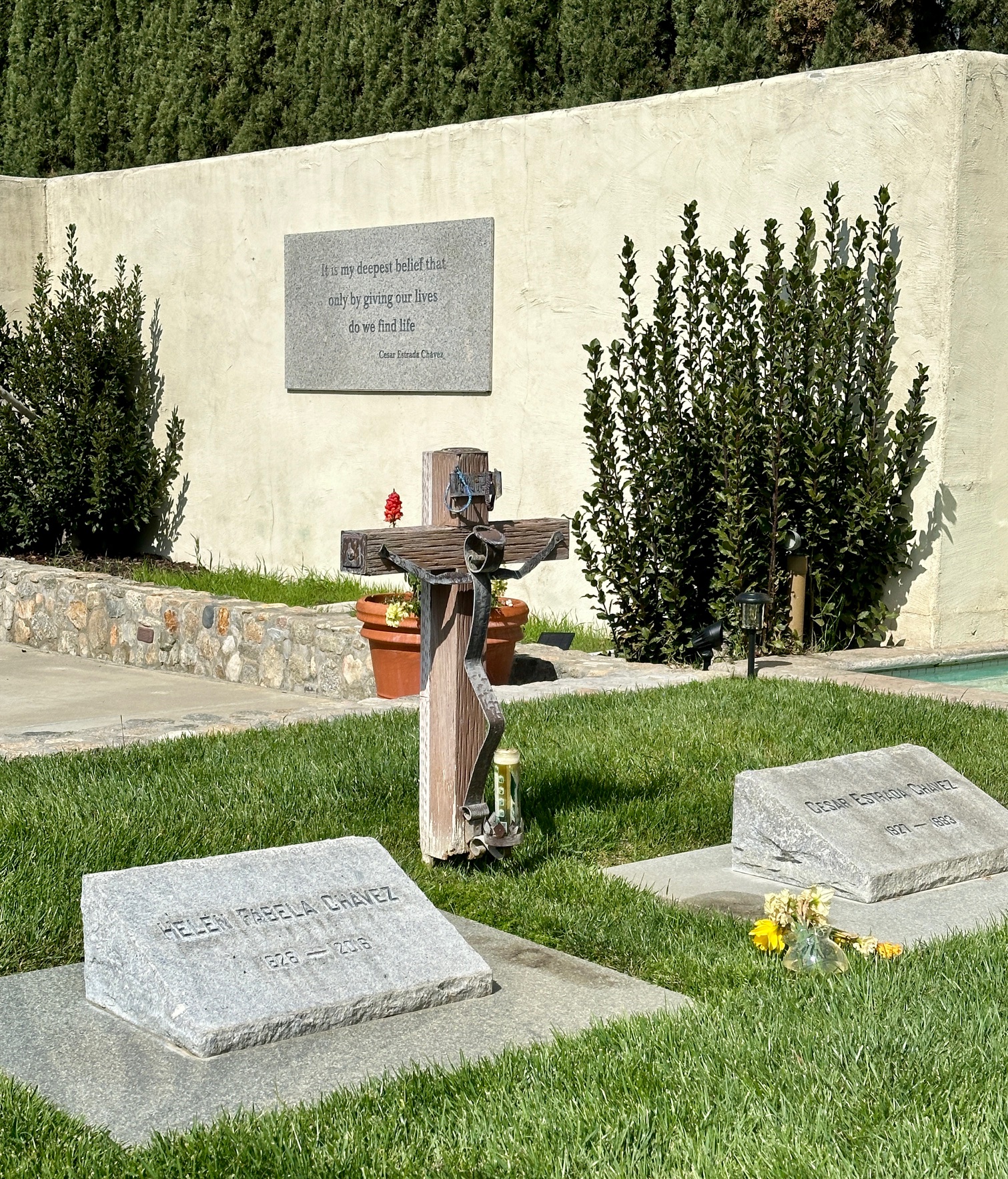
A detour to the Cesar Chavez monument
At the southern tip of Highway 99
March 27, 2024
ChicoSol staff
Red Bluff thanks tired firefighters
Fairground becomes more than a resting area
August 12, 2018
ChicoSol staff
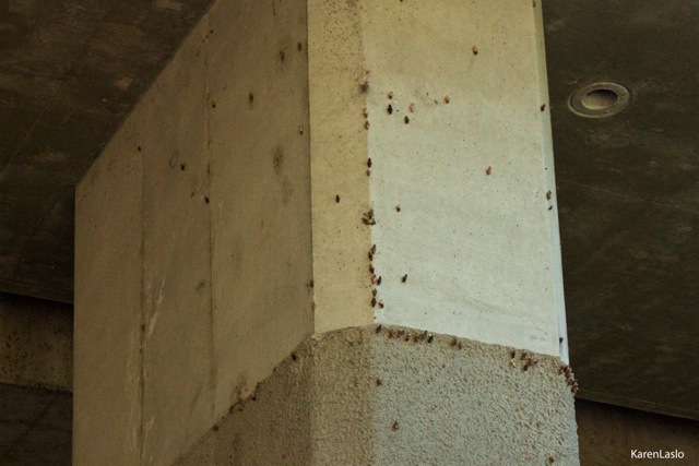
Caterpillars Make Do With What They’ve Got
August 23, 2017
Karen Laslo
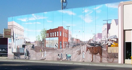
Crossroads
November 7, 2010
ChicoSol staff
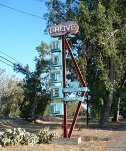
The Grove
August 12, 2010
ChicoSol staff
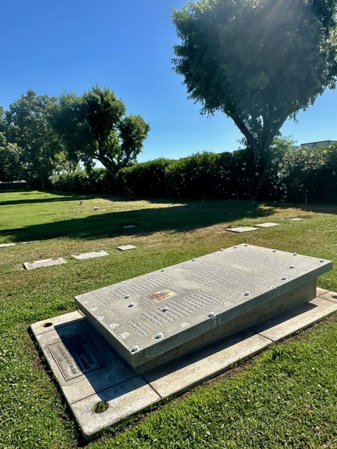
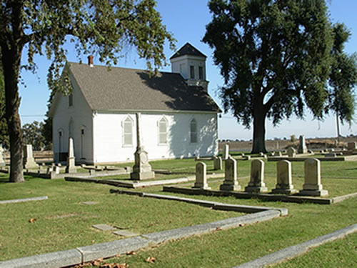
Cemetery Tells of Culture Crossings
May 31, 2010
ChicoSol staff
99 Words, Almost
December 1, 2009
ChicoSol staff