ChicoSol runs guest commentary on Mondays. Submit your idea for a commentary to ch**********@***il.com.
Deep under the land that raised me, an aquifer flows beneath almond orchards and farmhouses and county roads, beneath small towns and fields and the places where generations of families have built their lives around the assumption that when they turn on the faucet, water will be there.
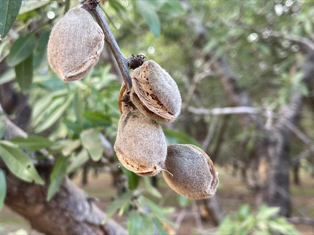
My parents bought the land in 1966, 80 acres of almonds and a small house they made into a home, out in the middle of Glenn County, a few miles west of the Sacramento River.
From the time I was a small child and drought threatened our crops, I knew the precarity of the land and the lifeblood that is water.
But the water was always there, until it wasn’t.
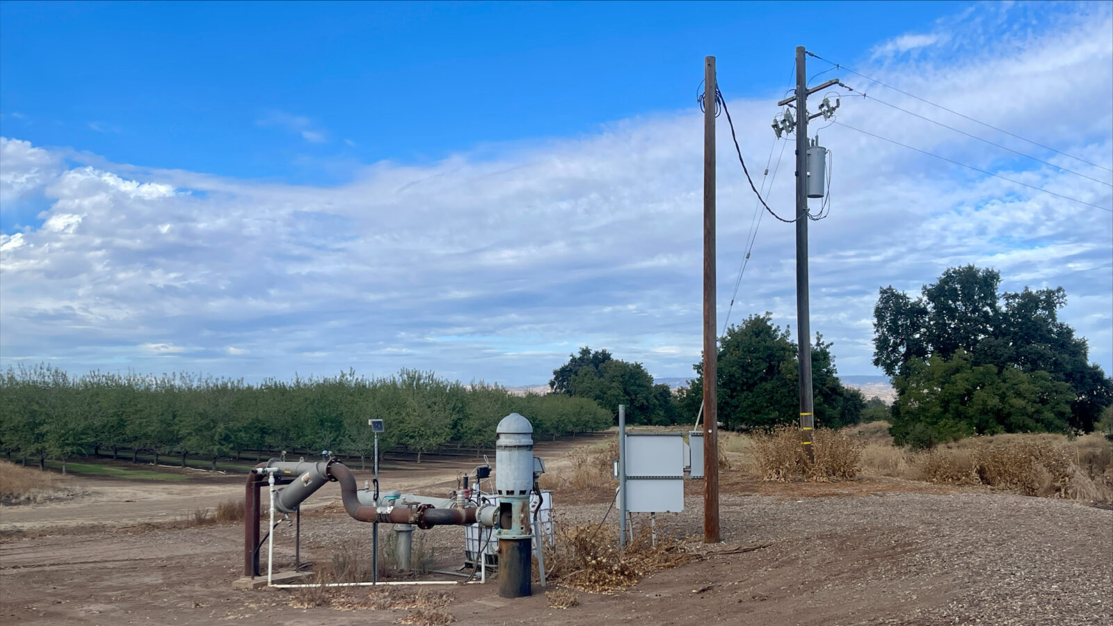
In the summer of 2021, and again in 2022, there wasn’t enough water to shower when the sprinklers ran, and sand filled the screens on the pump that brought water to the house.
Groundwater supplied the house and orchard and nearly everything else that made life there possible, and suddenly, during a hard drought, we could no longer reliably reach it.
That experience is not unique to one farm or one drought; it is life in the Central Valley of California.
In northern Butte County, including Chico, every faucet, sprinkler, and garden hose depends on groundwater from the aquifer beneath us. That groundwater also supplies the orchards, small towns and backroads surrounding Chico.
Like so many groundwater systems across the Central Valley, the groundwater beneath northern Butte County has been losing ground, with levels declining overall since 2000. Over the past two decades, that decline has been particularly pronounced around Chico and Durham, where monitored wells have dropped by 18 to 35 feet in elevation.
In our most recent drought, from 2020 to 2022, as groundwater fell toward historical low levels, dozens of domestic wells across northern Butte County went dry. On our farm on the other side of the Sacramento River, the wells became increasingly unstable. We had seen the signs for years: intermittent water, low pressure, pumps that drew sediment, and eventually wells that could no longer reliably supply water.
My mother installed a stronger pump, shored up the wells, and dug deeper at a cost of tens of thousands of dollars during the drought of 2015–2016, but in 2021 and 2022, there still wasn’t enough water. Our trees were stressed by the lower water table, longer stretches between irrigation cycles, and the extreme heat of the summer of 2021.
And those kinds of impacts are exactly why California finally changed the way groundwater is managed.
Sustainable Groundwater Management Act of 2014
In 2014, California passed the Sustainable Groundwater Management Act (SGMA), which requires local Groundwater Sustainability Agencies (GSAs) to sustainably manage high- and medium-priority groundwater basins. Within each large basin are subbasins, which are smaller areas often distinguished from one another by hydrologic or geologic features and, in some cases, management boundaries. Each high- or medium-priority subbasin must have a Groundwater Sustainability Plan (GSP).
Sacramento Valley Groundwater Basin and the Vina Subbasin
In Northern California, the Sacramento Valley Groundwater Basin (SVGB) underlies much of the Sacramento Valley floor, from the Redding/Anderson area south to Sacramento and the Delta. Bounded roughly by the Sierra Nevada and Cascade foothills and the Coast Range, it covers about 5,000 square miles.
Three SVGB subbasins extend into Butte County: Butte, Vina, and Wyandotte Creek. All are designated high or medium priority by the Department of Water Resources (DWR).
In northern Butte County, Vina GSA manages most of the Vina Subbasin, while the Rock Creek Reclamation District GSA manages a smaller portion. Together, the two GSAs manage the subbasin under a single GSP.
Groundwater Management, Minimum Thresholds, and Measurable Objectives
Groundwater management gets complicated quickly: monitoring wells, models, thresholds, and enough acronyms to make almost anyone stop reading. But the basics matter.
One basic measure is groundwater level. Monitoring wells show whether groundwater is falling, rising, or relatively stable over time and help agencies judge whether groundwater use can be sustained while supporting the communities, agriculture, and ecosystems that rely on it.
Minimum Thresholds, Measurable Objectives, and Historical Lows
The Vina Subbasin GSAs established groundwater-level criteria to assess management and identify when low groundwater might cause significant and unreasonable impacts. The two most important criteria are the Measurable Objective (MO) and Minimum Threshold (MT). The MO is the groundwater level the GSAs intend to achieve and maintain over time; the MT is a lower water-level regulatory threshold associated with potentially significant and unreasonable impacts.
A third concept is the historical low: the lowest groundwater elevation recorded at a monitoring well during its available period of record. Those records vary widely, from wells with measurements dating to the 1940s and 1950s to one beginning in 2018. A historical low therefore means the lowest documented level in that well’s record, not necessarily the lowest level ever reached at that location.
What do these numbers mean?
Several months ago, I attended a public meeting where the Vina Subbasin GSAs presented the state of the GSP. I got lost pretty quickly in the acronyms. But one thing stood out: graphs of MOs, MTs, and historical lows at several wells. The presenter described the MO as the level the GSAs intended to achieve and maintain over the long term. In well after well, it sat strikingly close to the historical low.
I am not a hydrologist; I am a sociologist, and I look for patterns in the data. I compared the MOs with historical lows for 17 wells in the 2022 well network. Sixteen of the 17 historical lows were recorded during either the 2012-2016 or the 2020-2022 droughts. At 9 of the 17 wells, the MO is at or below the historical low; at another 7, it is less than 10 feet above.
That is what concerns me. The MOs do not simply describe how far groundwater might fall during drought before recovering in wetter years. The adopted Vina Subbasin GSP positions MO levels that resemble recent drought lows as the groundwater levels the subbasin should return to and maintain over time. In other words, groundwater levels resembling drought lows can be treated as evidence of successful management.
We already have a warning from 2021
In spring 2021, during the most recent drought, every monitoring well with a valid reading was still above its adopted Measurable Objective. Yet Vina GSA’s later analysis estimated that 86 percent of likely groundwater-dependent ecosystems were disconnected from shallow groundwater under modeled spring 2021 conditions. In the study, “disconnected” means groundwater had fallen below the rooting-depth threshold used in the analysis; it does not mean every ecosystem was harmed.
The same mismatch matters for people: wells in a subbasin can remain at or above Measurable Objectives while households lose practical access to groundwater. During the 2021–2022 drought, dozens of domestic wells were reported dry; state records show at least 78 dry-well reports in 2021 and through August 2022 across Butte County.
If groundwater levels like those years are now the levels the GSAs intend to achieve and maintain, the concern is not only who can still reach the water at those levels. The next question is what happens when the next dry year comes.
Groundwater does not stay neatly at the Measurable Objective; groundwater levels rise and fall with rainfall, recharge, irrigation demand, and pumping.
Recent monitoring shows how quickly that can matter. In 2022, groundwater levels at Vina Subbasin monitoring wells fell by about 8 feet on average from the seasonal high to the seasonal low.
But seasonal changes do not capture the full range of additional short-term drawdown that can occur while irrigation pumps are operating. At one monitoring well, groundwater fell nearly 30 feet from its spring level to an August measurement flagged “nearby pump operating,” including a drop of about 14 feet in less than a month. By October, groundwater at the well had rebounded more than 23 feet. Even so, a decline of that magnitude could temporarily lower groundwater levels in nearby shallower wells, potentially reducing water pressure or leaving pump intakes above the water level.
If groundwater has been maintained around these Measurable Objectives, future pumping and drought could begin from a much lower starting point than in previous years.
We have little observed history showing what negative impacts might occur when groundwater that low becomes the starting point for another drought or a season of heavy irrigation pumping. Some effects might be visible in failing wells, stressed vegetation, or reduced creek flows; others may occur invisibly below the surface, including potentially irreversible changes within the aquifer system. Recent research shows why that possibility matters.
In a 2026 study of the Sacramento Valley aquifer system, researchers found that parts of the aquifer shifted from reversible deformation to irreversible compaction during the 2020-2022 drought, permanently reducing storage capacity in affected areas. The study does not show that Vina’s MOs caused or will cause compaction in the Vina Subbasin, but it demonstrates that sufficiently low groundwater levels can produce physical changes in susceptible parts of an aquifer system that do not simply reverse when wetter years return.
That is the risk of turning yesterday’s drought level into tomorrow’s normal.
That concern becomes more important when we look at the range between the Measurable Objectives and Minimum Thresholds.
At the 17 original monitoring wells, the Minimum Thresholds sit 10 to 84 feet below the Measurable Objectives. In practice, groundwater levels are allowed to fluctuate within that range. At many wells, the historical record provides little or no experience with groundwater levels that low. We therefore do not know what impacts could occur as groundwater moves through that range.
The September 2026 Draft Periodic Evaluation does not change the MOs. It instead proposes non-regulatory Local Management Levels 20 feet below the MOs at 14 of the expanded network’s 31 wells; none is in the Chico Management Area.
What we do know is what happened when groundwater approached recent drought lows: domestic wells failed, household water supplies became unreliable, and shallow groundwater was out of reach for many likely groundwater-dependent ecosystems.
Other choices are possible
SGMA does not prescribe one groundwater elevation every community must accept. Local agencies choose what conditions they consider sustainable and when they will act.
The neighboring Corning Subbasin GSAs made a different choice after the 2020–2022 drought. Where serious groundwater impacts occurred, they revised their Minimum Thresholds upward to reduce the likelihood of repeating those conditions. The two subbasins are not identical, but the contrast matters: Corning used recent drought impacts as a reason to raise groundwater protections, while the Vina Subbasin GSP used projected dry-period groundwater decline to help establish many of its long-term objectives.
That is a policy choice.
What are we actually trying to sustain?
For Chico, this is not an abstract argument about monitoring-well numbers.
It is about Bidwell Park.
It is about valley oaks and riparian corridors and creeks and parks and Chico’s urban forest.
It is about rural households whose wells may not reach as deep as agricultural and municipal wells.
It is about small farmers who cannot keep drilling deeper and deeper wells to irrigate their crops.
And it is about the aquifer beneath all of it.
If these Measurable Objectives represent the groundwater condition the Vina Subbasin GSAs intend to maintain, the public deserves clear answers about what that means above ground and who will still be able to reach the water below ground. How deep will shallow groundwater be beneath Bidwell Park and Chico’s urban forest? Will shallower domestic wells still work? What happens after two or three dry years? And what will prompt action before impacts become difficult, or impossible, to reverse?
Compliance is not necessarily protection.
And before yesterday’s drought-level groundwater becomes tomorrow’s normal, Chico deserves a much clearer conversation about what “sustainable” groundwater management is supposed to sustain.
How to weigh in
The September 2026 Draft Periodic Evaluation and Draft Amended GSP are still open for public review. Written comments are accepted through Oct. 26 and may be submitted through the Vina GSA’s online comment form or by email to VI*******************@*****CA.GOV
The Vina GSA Board meets at 5 p.m. Oct. 14 in the Chico City Council Chambers, with additional meetings Nov. 4 and Dec. 2. Public comment is accepted in person or by email. The Chico City Council is also expected to discuss the Periodic Evaluation at its Oct. 6 meeting; check the posted agenda when available.
Source note: Data and plan descriptions were drawn from the Vina Subbasin Groundwater Sustainability Plan, Vina Subbasin annual reports, the September 2026 Draft Periodic Evaluation and Draft Amended GSP, the July 2026 Groundwater Levels Strawman Proposal, 2026 groundwater and groundwater-dependent ecosystem materials, and California Department of Water Resources groundwater-level records. The Corning comparison is based on the revised Corning Subbasin Groundwater Sustainability Plan and the Department of Water Resources reassessment.
AI use: ChatGPT (OpenAI, GPT-5.6 Sol) was used as a research, analysis and writing tool in developing this article. AI-assisted calculations, comparisons, figures, and language were checked against original sources.

Marianne Paiva is a fifth-generation resident of Butte County. She is a sociologist whose research focuses on rural communities, food access and vulnerability, human impact on the environment and public policy. She is a long-time lecturer at Chico State.